
Drone / UAS (Unmanned Aerial Systems) services provide advanced aerial solutions using remotely piloted aircraft. These services include aerial photography, mapping, surveying, inspection, and monitoring across various industries. Drones enhance safety, reduce operational costs, and offer real-time data collection in hard-to-reach or hazardous areas. They are commonly used in construction, agriculture, energy, and emergency response. Equipped with high-resolution cameras and sensors, UAS platforms deliver precise, actionable insights for smarter decision-making.
Drone/UAS services in architecture offer high-resolution aerial imagery and 3D modeling for accurate site analysis and project planning. They enable architects to capture real-time views of construction progress, monitor site conditions, and assess environmental impact. Aerial data improves design accuracy and helps identify spatial relationships and constraints early in the process. Drones also create compelling visual content for presentations and client engagement. These services streamline workflows, enhance safety, and support more informed architectural decisions.
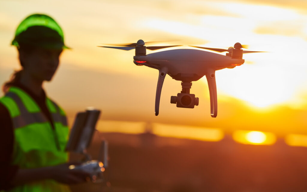
Drone/UAS services in engineering provide precise aerial data for surveying, inspection, and project planning. Engineers use drones to map topography, monitor infrastructure, and track construction progress with high accuracy. This technology enhances safety by reducing the need for manual inspections in hazardous areas. Drones also improve efficiency, enabling faster data collection and analysis for informed decision-making. Their use supports cost-effective, timely execution of engineering projects across civil, structural, and environmental disciplines.
Drone/UAS services in construction deliver real-time aerial data for site surveys, progress tracking, and project documentation. Drones improve safety by monitoring hazardous zones without putting workers at risk. They enable accurate volume measurements, topographic mapping, and 3D modeling for better planning and resource management. Construction teams use drone imagery to enhance communication, track milestones, and ensure quality control. These services reduce delays, cut costs, and increase overall project efficiency.
Drone/UAS services in real estate offer stunning aerial photography and video to showcase properties from unique perspectives. These visuals enhance marketing materials, attracting more buyers and increasing listing engagement. Drones also provide accurate land surveys and site overviews, aiding in property assessments and development planning. Real estate agents and developers use UAS data to highlight key features, neighborhood context, and lot dimensions. This technology boosts sales potential while saving time and marketing costs.