21
Jul 25
Enhancing Traffic & Pedestrian Safety in Modern Urban Development
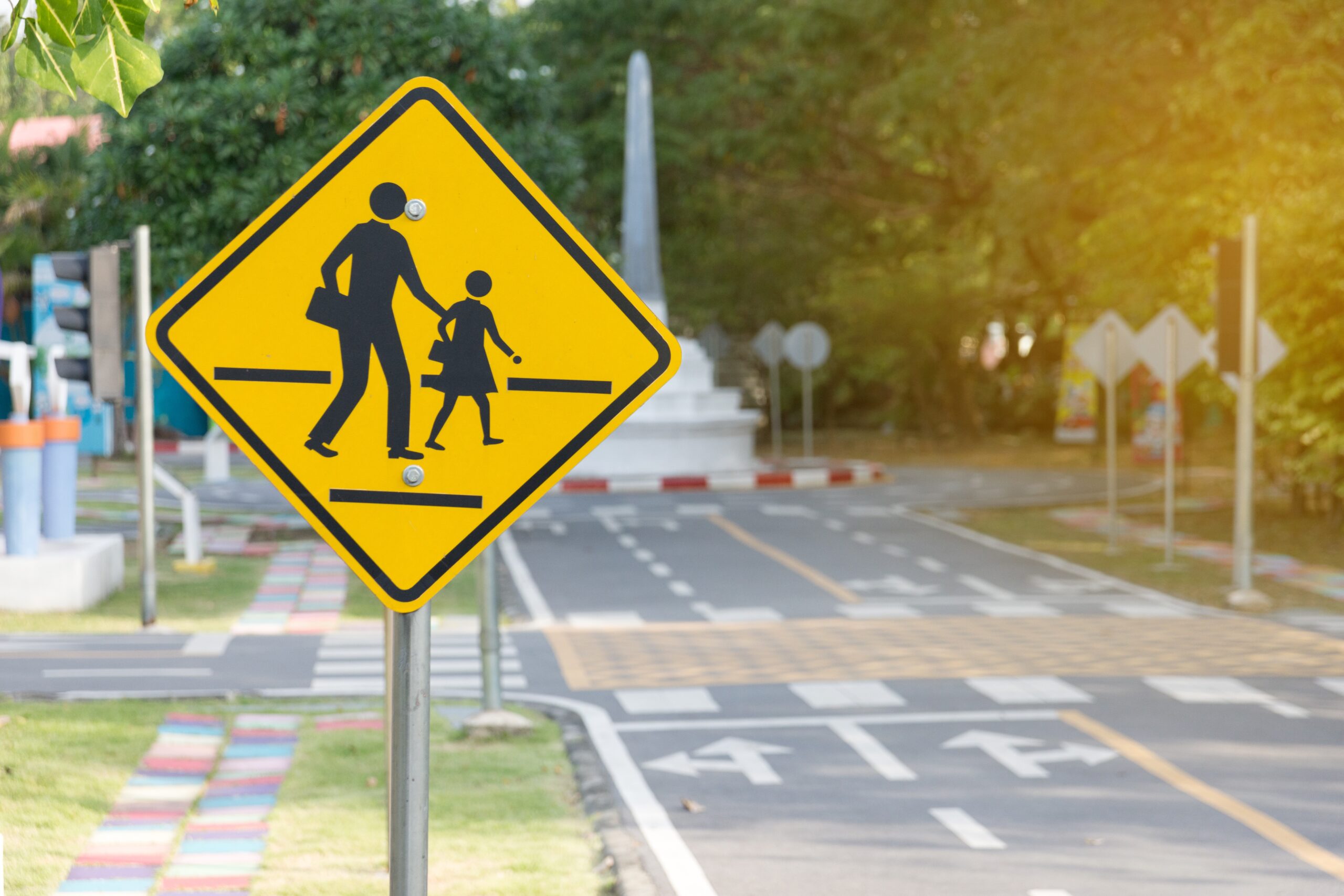
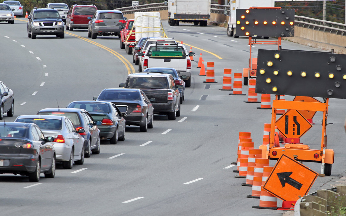
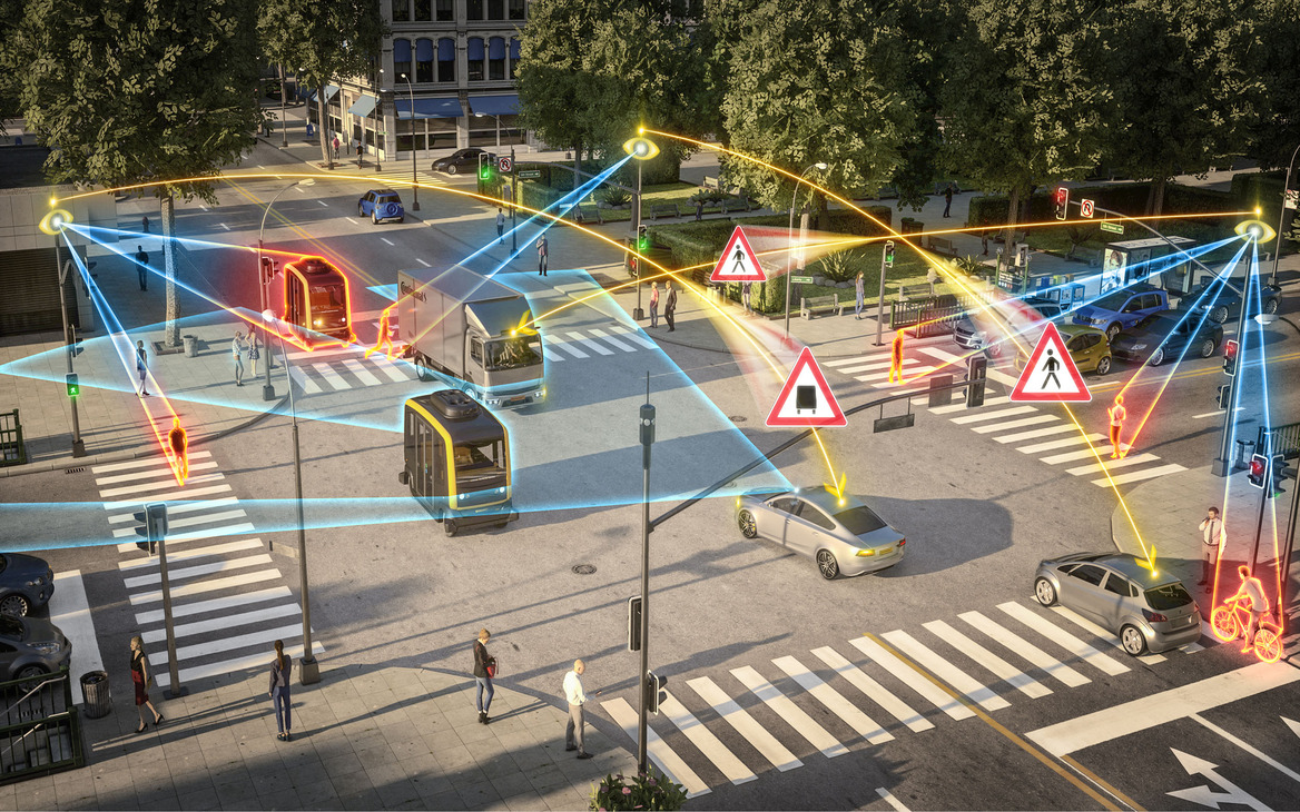
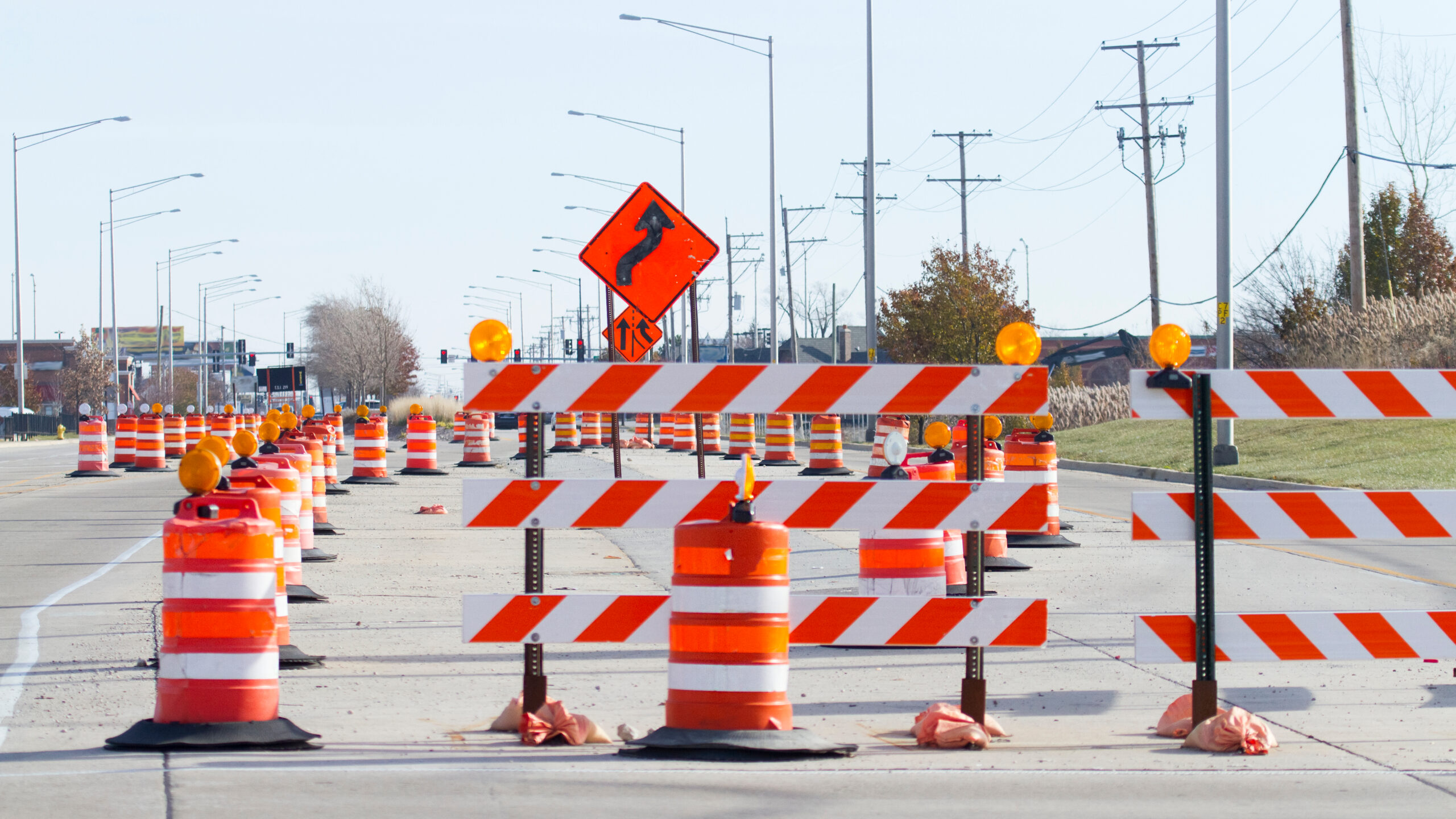
Introduction As urban areas continue to expand and evolve, the need for effective traffic and pedestrian safety solutions becomes more urgent. In July 2025, cities across the U.S. are seeing increased focus on integrating smarter, safer infrastructure into real estate and public planning projects. At Traffic Safety Ancillary Solutions – U.S.A., we are proud to support this movement with innovative, compliant, and results-driven services. Urban Growth and the Safety Challenge With more vehicles, dense populations, and mixed-use developments, urban environments pose complex safety challenges. Real estate developers, municipalities, and transportation authorities must work together to design systems that protect both drivers and pedestrians while maintaining efficient traffic flow. Our Role in Safer Communities TSAS-USA works alongside architects, engineers, construction firms, and property managers to design and implement solutions that meet these demands. From traffic calming designs to optimized pedestrian walkways and signage, we ensure every project meets local and federal safety codes. Integrating Safety Into Real Estate Projects Modern developments—from residential neighborhoods to commercial complexes—are incorporating traffic and pedestrian safety into their master plans. Our real estate safety solutions include: These elements not only protect residents and visitors but also add long-term value to the properties. Looking Ahead: July 2025 and Beyond As we move deeper into 2025, we anticipate even greater collaboration between real estate professionals and traffic safety experts. Smart city planning, data-driven solutions, and eco-friendly design are shaping the future—and TSAS-USA remains committed to staying at the forefront. Final Thoughts Traffic and pedestrian safety are no longer afterthoughts in development—they are foundational to success. Whether you’re managing a large-scale project or improving safety in an existing space, TSAS-USA is here to help you navigate regulations, reduce liability, and build safer environments for all. 📞 Need help planning a safer project?Contact us today:Phone: 866.791.4255Email: info@tsas-usa.org